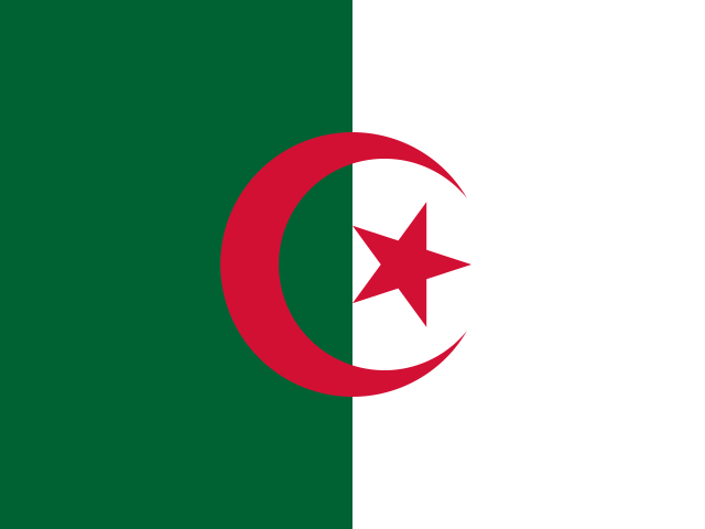
 Algeria
People's Democratic Republic of Algeria · अल्जीरिया
Algeria is in North Africa on the Mediterranean Sea, and it is the largest country in Africa by area. Most of the country lies within the Sahara Desert.
- Capital
- Algiers
- Continent
- Africa
- Region
- Northern Africa
- Area
- 2,381,741 km²
- Population
- 47.4 million (2025)
- Official languages
- Arabic
- Currency
- Algerian dinar (د.ج)
- Government
- people's republic
- Highest point
- Mount Tahat (2,918 m)
- Calling code
- +213
- States / regions
- 48
Did you know?
- Tassili n'Ajjer has thousands of ancient rock paintings showing giraffes, cattle and other animals from a time when the Sahara was green.
- Algeria became Africa's largest country in 2011, when South Sudan split from Sudan.
- Couscous, tiny steamed grains of wheat, is a much-loved dish.
States and regions of Algeria
- Adrar Adrar
- Ain Defla Aïn Deflaa
- Ain Temouchent Aïn Témouchent
- Algiers Algiers
- Annaba Annaba
- Batna Batna
- Bechar Béchar
- Bejaia Béjaïa
- Biskra Biskra
- Blida Blida
- Bordj Bou Arreridj Bordj Bou Arréridj
- Bouira Bouïra
- Boumerdes Boumerdès
- Chlef Chlef
- Constantine Constantine
- Djelfa Djelfa
- El Bayadh El Bayadh
- El Oued El Oued
- El Tarf El Taref
- Ghardaia Ghardaia
- Guelma Guelma
- Illizi Illizi
- Jijel Jijel
- Khenchela Khenchela
- Laghouat Laghouat
- M'Sila M'Sila
- Mascara Mascara
- Medea Médéa
- Mila Mila
- Mostaganem Mostaganem
- Naama Naâma
- Oran Oran
- Ouargla Ouargla
- Oum El Bouaghi Oum El Bouaghi
- Relizane Relizane
- Saida Saida
- Setif Sétif
- Sidi Bel Abbes Sidi Bel Abbès
- Skikda Skikda
- Souk Ahras Souk Ahras
- Tamanghasset Tamanrasset
- Tebessa Tébessa
- Tiaret Tiaret
- Tindouf Tindouf
- Tipasa Tipaza
- Tissemsilt Tissemsilt
- Tizi Ouzou Tizi-Ouzou
- Tlemcen Tlemcen
Neighbouring countries
- Tunisia Tunis
- Libya Tripoli
- Niger Niamey
- Western Sahara El Aaiún
- Mauritania Nouakchott
- Mali Bamako
- Morocco Rabat
Rivers, mountains and lakes of Algeria
- Atlas Mountains Mountain range
- Sahara Desert
Frequently asked questions
- What is the capital of Algeria?
- The capital of Algeria is Algiers.
- What is the population of Algeria?
- Algeria has a population of about 47.4 million (2025).
- How big is Algeria?
- Algeria covers 2,381,741 square kilometres.
- Which countries border Algeria?
- Algeria shares land borders with Tunisia, Libya, Niger, Western Sahara, Mauritania, Mali, Morocco.
- What is the currency of Algeria?
- The currency of Algeria is the Algerian dinar.
- What language is spoken in Algeria?
- The official language of Algeria is Arabic.
- What is the highest point in Algeria?
- The highest point in Algeria is Mount Tahat (2,918 m).