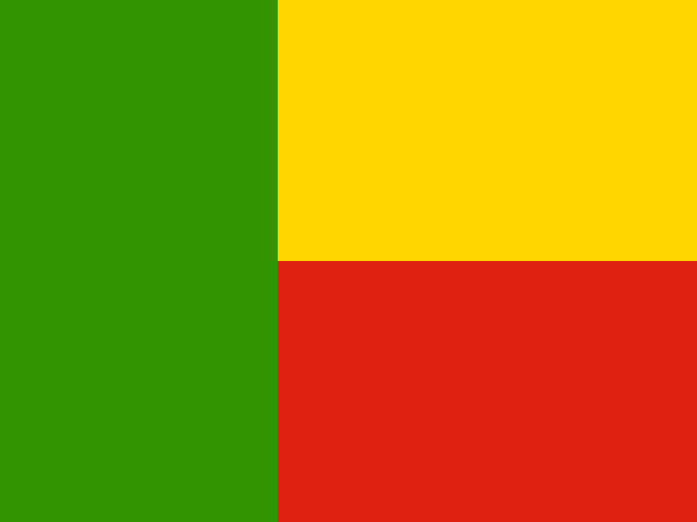
 Benin
Republic of Benin · बेनिन
Benin is a narrow country in West Africa with a short coastline on the Gulf of Guinea. It is known for the history of the Kingdom of Dahomey, its royal palaces and a village built on stilts.
- Capital
- Porto-Novo
- Continent
- Africa
- Region
- Western Africa
- Area
- 112,622 km²
- Population
- 14.8 million (2025)
- Official languages
- French
- Currency
- West African CFA franc (Fr)
- Government
- republic
- Highest point
- Mont Sokbaro (658 m)
- Calling code
- +229
- States / regions
- 12
Did you know?
- Ganvié is a village built on stilts in Lake Nokoué, where people get around by boat.
- The Royal Palaces of Abomey are a UNESCO World Heritage Site.
- Pendjari National Park is one of the last strongholds of lions and elephants in West Africa.
States and regions of Benin
Neighbouring countries
- Burkina Faso Ouagadougou
- Niger Niamey
- Nigeria Abuja
- Togo Lomé
Rivers, mountains and lakes of Benin
- Niger River
Frequently asked questions
- What is the capital of Benin?
- The capital of Benin is Porto-Novo.
- What is the population of Benin?
- Benin has a population of about 14.8 million (2025).
- How big is Benin?
- Benin covers 112,622 square kilometres.
- Which countries border Benin?
- Benin shares land borders with Burkina Faso, Niger, Nigeria, Togo.
- What is the currency of Benin?
- The currency of Benin is the West African CFA franc.
- What language is spoken in Benin?
- The official language of Benin is French.
- What is the highest point in Benin?
- The highest point in Benin is Mont Sokbaro (658 m).