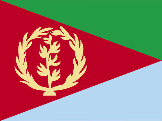
 Eritrea
State of Eritrea · इरित्रिया
Eritrea is a country in the Horn of Africa along the Red Sea coast. It is known for its capital, Asmara, and the coral islands of the Dahlak Archipelago.
- Capital
- Asmara
- Continent
- Africa
- Region
- Eastern Africa
- Area
- 117,600 km²
- Population
- 3.6 million (2025)
- Official languages
- Arabic, English, Tigrinya
- Currency
- Eritrean nakfa (Nfk)
- Highest point
- Emba Soira (3,018 m)
- Calling code
- +291
- States / regions
- 6
Did you know?
- Asmara is a UNESCO World Heritage Site because of its many modernist buildings from the early 1900s.
- The Fiat Tagliero building in Asmara is shaped like an aeroplane.
- Part of the Danakil Depression, one of the hottest places on Earth, lies in Eritrea.
States and regions of Eritrea
- Anseba Keren
- Debub Mendefera
- Gash-Barka Barentu
- Maekel Asmara
- Northern Red Sea Massawa
- Southern Red Sea Assab
Neighbouring countries
Rivers, mountains and lakes of Eritrea
- Sahara Desert
Frequently asked questions
- What is the capital of Eritrea?
- The capital of Eritrea is Asmara.
- What is the population of Eritrea?
- Eritrea has a population of about 3.6 million (2025).
- How big is Eritrea?
- Eritrea covers 117,600 square kilometres.
- Which countries border Eritrea?
- Eritrea shares land borders with Djibouti, Ethiopia, Sudan.
- What is the currency of Eritrea?
- The currency of Eritrea is the Eritrean nakfa.
- What language is spoken in Eritrea?
- The official languages of Eritrea are Arabic, English, Tigrinya.
- What is the highest point in Eritrea?
- The highest point in Eritrea is Emba Soira (3,018 m).