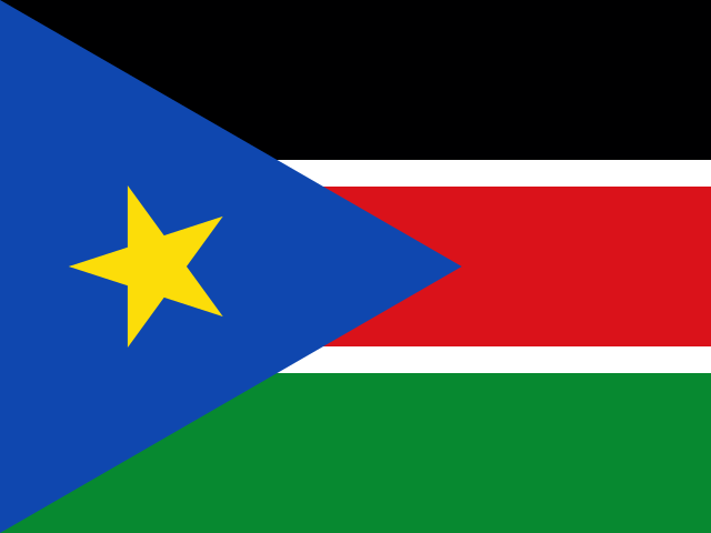
 South Sudan
Republic of South Sudan · दक्षिण सूडान
South Sudan is a landlocked country in east-central Africa that became independent in 2011. The White Nile flows through it from south to north.
- Capital
- Juba
- Continent
- Africa
- Region
- Middle Africa
- Area
- 619,745 km²
- Population
- 12.2 million (2025)
- Official languages
- English
- Currency
- South Sudanese pound (£)
- Government
- federal republic
- Highest point
- Kinyeti (3,187 m)
- Calling code
- +211
- States / regions
- 10
Did you know?
- The Sudd is one of the largest wetlands in the world.
- Huge herds of antelope, such as the white-eared kob, migrate across South Sudan's plains.
- Its capital, Juba, lies on the banks of the White Nile.
States and regions of South Sudan
- Central Equatoria Juba
- Eastern Equatoria Torit
- Jonglei Bor
- Lakes Rumbek
- Northern Bahr el Ghazal Aweil
- Unity Bentiu
- Upper Nile Malakal
- Warrap Kuajok
- Western Bahr el Ghazal Wau
- Western Equatoria Yambio
Neighbouring countries
Rivers, mountains and lakes of South Sudan
- Nile River
Frequently asked questions
- What is the capital of South Sudan?
- The capital of South Sudan is Juba.
- What is the population of South Sudan?
- South Sudan has a population of about 12.2 million (2025).
- How big is South Sudan?
- South Sudan covers 619,745 square kilometres.
- Which countries border South Sudan?
- South Sudan shares land borders with Central African Republic, DR Congo, Ethiopia, Kenya, Sudan, Uganda.
- What is the currency of South Sudan?
- The currency of South Sudan is the South Sudanese pound.
- What language is spoken in South Sudan?
- The official language of South Sudan is English.
- What is the highest point in South Sudan?
- The highest point in South Sudan is Kinyeti (3,187 m).