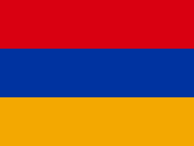
 Armenia
Republic of Armenia · आर्मीनिया
Armenia is a small, mountainous, landlocked country in the South Caucasus, where Europe meets Asia. It is known for its ancient stone churches, sweet apricots and its own unique alphabet.
- Capital
- Yerevan
- Continent
- Asia
- Region
- Western Asia
- Area
- 29,743 km²
- Population
- 3.1 million (2025)
- Official languages
- Armenian
- Currency
- Armenian dram (֏)
- Government
- unitary state
- Highest point
- Mount Aragats (4,090 m)
- Calling code
- +374
- States / regions
- 11
Did you know?
- The Armenian alphabet was created in the early 400s by a scholar named Mesrop Mashtots.
- Mount Ararat, a national symbol, can be seen from the capital Yerevan, though it lies across the border in Türkiye.
- One of the oldest leather shoes ever found, about 5,500 years old, was discovered in an Armenian cave.
States and regions of Armenia
- Aragatsotn Ashtarak
- Ararat Artashat
- Armavir Armavir
- Gegharkunik Gavar
- Kotayk Hrazdan
- Lori Vanadzor
- Shirak Gyumri
- Syunik Kapan
- Tavush Ijevan
- Vayots Dzor Yeghegnadzor
- Yerevan
Neighbouring countries
- Azerbaijan Baku
- Georgia Tbilisi
- Iran Tehran
- Türkiye Ankara
Rivers, mountains and lakes of Armenia
- Caucasus Mountains Mountain range
Frequently asked questions
- What is the capital of Armenia?
- The capital of Armenia is Yerevan.
- What is the population of Armenia?
- Armenia has a population of about 3.1 million (2025).
- How big is Armenia?
- Armenia covers 29,743 square kilometres.
- Which countries border Armenia?
- Armenia shares land borders with Azerbaijan, Georgia, Iran, Türkiye.
- What is the currency of Armenia?
- The currency of Armenia is the Armenian dram.
- What language is spoken in Armenia?
- The official language of Armenia is Armenian.
- What is the highest point in Armenia?
- The highest point in Armenia is Mount Aragats (4,090 m).