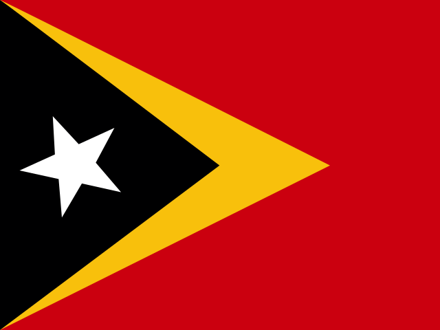
 Timor-Leste
Democratic Republic of Timor-Leste · पूर्वी तिमोर
Timor-Leste, also called East Timor, is a country in Southeast Asia on the eastern half of the island of Timor. It is known for mountains, coral reefs and coffee.
- Capital
- Dili
- Continent
- Asia
- Region
- South-Eastern Asia
- Area
- 14,874 km²
- Population
- 1.4 million (2025)
- Official languages
- Portuguese, Tetum
- Currency
- United States dollar ($)
- Government
- unitary state
- Highest point
- Tatamailau (2,963 m)
- Calling code
- +670
- States / regions
- 13
Did you know?
- The reefs around Atauro Island have some of the highest numbers of reef fish species ever recorded.
- Portuguese and Tetum are the official languages.
- Mount Ramelau is the highest mountain in Timor-Leste.
States and regions of Timor-Leste
Neighbouring countries
- Indonesia Jakarta
Frequently asked questions
- What is the capital of Timor-Leste?
- The capital of Timor-Leste is Dili.
- What is the population of Timor-Leste?
- Timor-Leste has a population of about 1.4 million (2025).
- How big is Timor-Leste?
- Timor-Leste covers 14,874 square kilometres.
- Which countries border Timor-Leste?
- Timor-Leste shares land borders with Indonesia.
- What is the currency of Timor-Leste?
- The currency of Timor-Leste is the United States dollar.
- What language is spoken in Timor-Leste?
- The official languages of Timor-Leste are Portuguese, Tetum.
- What is the highest point in Timor-Leste?
- The highest point in Timor-Leste is Tatamailau (2,963 m).