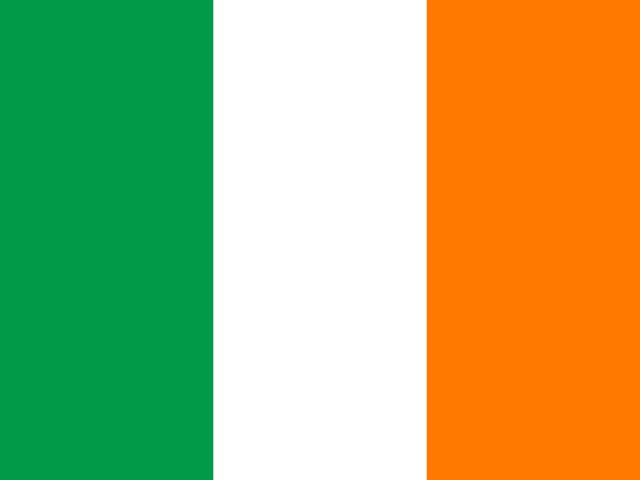
 Ireland
Republic of Ireland · आयरलैण्ड
Ireland is an island country in northwestern Europe, in the Atlantic Ocean. It is called the 'Emerald Isle' because of its green fields, and it is known for music, dancing and storytelling.
- Capital
- Dublin
- Continent
- Europe
- Region
- Northern Europe
- Area
- 70,273 km²
- Population
- 5.5 million (2025)
- Official languages
- English, Irish
- Currency
- Euro (€)
- Government
- parliamentary republic
- Highest point
- Carrauntoohil (1,039 m)
- Calling code
- +353
- States / regions
- 34
Did you know?
- Halloween grew out of Samhain, an ancient Celtic festival.
- Ireland has no native snakes.
- The harp is Ireland's national symbol.
States and regions of Ireland
- Carlow Carlow
- Cavan Cavan
- Clare Ennis
- Cork Cork
- Cork Cork
- Donegal Lifford
- Dublin Dublin
- Dun Laoghaire–Rathdown
- Fingal Swords
- Galway Galway
- Galway Galway
- Kerry Tralee
- Kildare Naas
- Kilkenny Kilkenny
- Laois Port Laoise
- Leitrim Carrick-on-Shannon
- Limerick Limerick
- Limerick Limerick
- Longford Longford
- Louth Dundalk
- Mayo Castlebar
- Meath Navan
- Monaghan Monaghan
- Offaly Tullamore
- Roscommon Roscommon
- Sligo Sligo
- South Dublin
- Tipperary Nenagh
- Tipperary Nenagh
- Waterford Waterford
- Waterford Waterford
- Westmeath Mullingar
- Wexford Wexford
- Wicklow Wicklow
Neighbouring countries
- United Kingdom London
Frequently asked questions
- What is the capital of Ireland?
- The capital of Ireland is Dublin.
- What is the population of Ireland?
- Ireland has a population of about 5.5 million (2025).
- How big is Ireland?
- Ireland covers 70,273 square kilometres.
- Which countries border Ireland?
- Ireland shares land borders with United Kingdom.
- What is the currency of Ireland?
- The currency of Ireland is the Euro.
- What language is spoken in Ireland?
- The official languages of Ireland are English, Irish.
- What is the highest point in Ireland?
- The highest point in Ireland is Carrauntoohil (1,039 m).