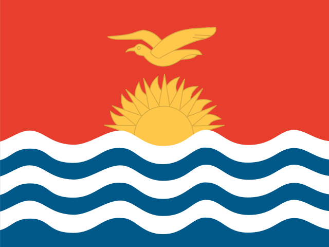
 Kiribati
Independent and Sovereign Republic of Kiribati · किरिबाती
Kiribati is a Pacific Ocean country made of 33 islands, most of them coral atolls, spread across a huge area of sea. It lies across the Equator, close to the International Date Line.
- Capital
- South Tarawa
- Continent
- Oceania
- Region
- Micronesia
- Area
- 811 km²
- Population
- 136,488 (2025)
- Official languages
- English, Gilbertese
- Currency
- Australian dollar ($), Kiribati dollar ($)
- Highest point
- Banaba Island (81 m)
- Calling code
- +686
- States / regions
- 2
Did you know?
- Kiribati is one of the first places on Earth to begin each new day.
- Kiritimati (Christmas Island) is the largest coral atoll in the world by land area.
- Kiribati's islands lie in all four hemispheres: north, south, east and west.
States and regions of Kiribati
Frequently asked questions
- What is the capital of Kiribati?
- The capital of Kiribati is South Tarawa.
- What is the population of Kiribati?
- Kiribati has a population of about 136,488 (2025).
- How big is Kiribati?
- Kiribati covers 811 square kilometres.
- What is the currency of Kiribati?
- The currency of Kiribati is the Australian dollar and the Kiribati dollar.
- What language is spoken in Kiribati?
- The official languages of Kiribati are English, Gilbertese.
- What is the highest point in Kiribati?
- The highest point in Kiribati is Banaba Island (81 m).